Geospatial Data in Apache Druid - Generating Geohashes
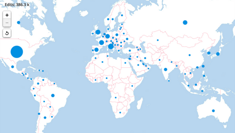
In an earlier post, I discussed how to model geospatial data in Druid. Here’s a little hack that shows (as a proof of concept) how these data can be used to generate Geohash codes from latitude and longitude values, which are used by some map visualization tools.
This uses a deprecated feature of Druid which lets you write your own parser in Javascript. You will have to enable Javascript to make this work.
It also uses the older firehose format for ingestion, which means you will have to write the ingestion spec in a text editor and submit it through the Task API.
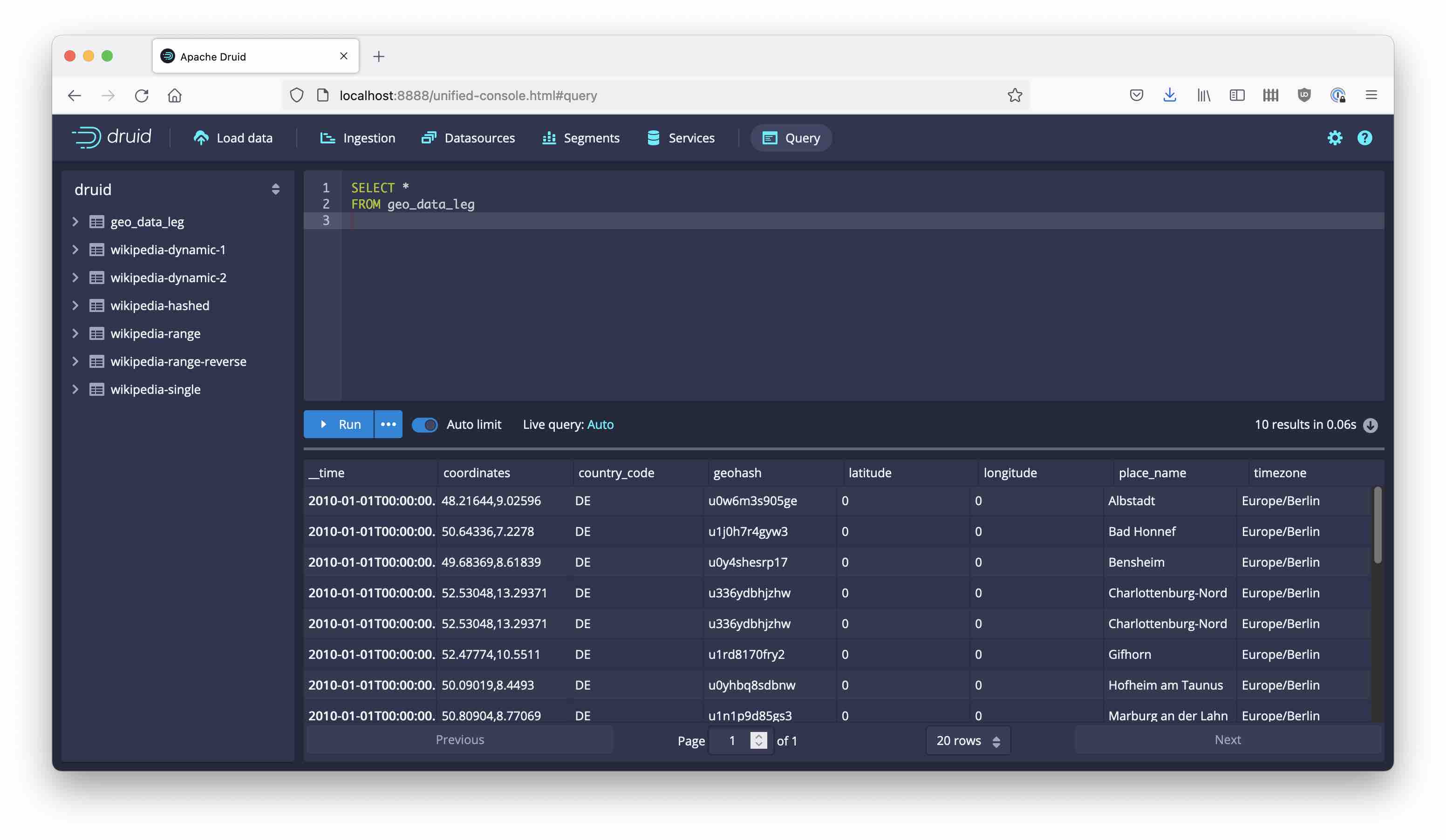
Here is an example with inline data:
{
  "type": "index_parallel",
  "spec": {
    "ioConfig": {
      "type": "index_parallel",
      "firehose": {
        "type": "inline",
        "data": "50.09019,8.4493,Hofheim am Taunus,DE,Europe/Berlin\n52.47774,10.5511,Gifhorn,DE,Europe/Berlin\n52.53048,13.29371,Charlottenburg-Nord,DE,Europe/Berlin\n48.21644,9.02596,Albstadt,DE,Europe/Berlin\n52.53048,13.29371,Charlottenburg-Nord,DE,Europe/Berlin\n49.68369,8.61839,Bensheim,DE,Europe/Berlin\n50.64336,7.2278,Bad Honnef,DE,Europe/Berlin\n48.46458,9.22796,Pfullingen,DE,Europe/Berlin\n53.59337,9.47629,Stade,DE,Europe/Berlin\n50.80904,8.77069,Marburg an der Lahn,DE,Europe/Berlin"
      }
    },
    "tuningConfig": {
      "type": "index_parallel",
      "partitionsSpec": {
        "type": "dynamic"
      }
    },
    "dataSchema": {
      "dataSource": "geo_data_leg",
      "parser": {
        "type": "string",
        "parseSpec": {
          "format": "javascript",
          "function": "function(a){var b=a.split(\",\");var c=b[0];var d=b[1];const BITS=[16,8,4,2,1];const BASE32=\"0123456789bcdefghjkmnpqrstuvwxyz\";var e=1;var i=0;var f=[];var g=[];var h=0;var j=0;var k=12;geohash=\"\";f[0]=-90.0;f[1]=90.0;g[0]=-180.0;g[1]=180.0;while(geohash.length<k){if(e){mid=(g[0]+g[1])/2;if(d>mid){j|=BITS[h];g[0]=mid}else g[1]=mid}else{mid=(f[0]+f[1])/2;if(c>mid){j|=BITS[h];f[0]=mid}else f[1]=mid}e=!e;if(h<4)h++;else{geohash+=BASE32[j];h=0;j=0}}return{latitude:b[0],longitude:b[1],place_name:b[2],country_code:b[3],timezone:b[4],geohash:geohash}}",
          "timestampSpec": {
            "column": "!!!_no_such_column_!!!",
            "missingValue": "2010-01-01T00:00:00Z"
          },
          "columns": ["latitude","longitude","place_name","country_code","timezone","geohash"],
          "dimensionsSpec": {
            "spatialDimensions": [
              {
                "dimName": "coordinates",
                "dims": [
                  "latitude",
                  "longitude"
                ]
              }
            ],
            "dimensions": [
              {
                "type": "double",
                "name": "latitude"
              },
              {
                "type": "double",
                "name": "longitude"
              },
              "place_name",
              "country_code",
              "timezone",
              "geohash"
            ]
          }
        }
      },
      "granularitySpec": {
        "queryGranularity": "none",
        "rollup": false,
        "segmentGranularity": "day"
      }
    }
  }
}
For the Javascript parser, I used a Geohash function that I found here, adapted the signature, and ran it through an obfuscator/compressor. Here’s the result:
You can see the intermediate steps in this repo: https://github.com/hellmarbecker/druid-spatial.
Don’t do this in production, but it is a fun thing to try!